Historical Maps of Caucasus (2): Armenia
MAP COLLECTIONS & atlases
- Armenia: Historical Maps Collection (Library of Congress)
- Armenia on Ancient Maps (Armenian Geographic)
- Atlas de géographie historique de l’Arménie, 1920 (Zadig Khanzadian)
- Blank and Outline Maps of Armenia (d-maps.com)
- Historical Maps of Armenia (American Geographical Society Library Digital Map Collection)
- Historical Maps of Armenia (armenica,org)
- Historical Maps of Armenia (David Rumsey Map Collection)
- Old Maps of Armenia (oldmapsonline.org)
MAPS
- « Greater Armenia » (Historical Space of the Armenian civilization)
- Armenia in the 4th Century, 299-387 A.D.
- Armenian Kingdom of Cilicia, 1199-1375
- Eastern Provinces of Ottoman Empire - Turkish Armenia - Western Armenia
- Russian Expansion into Caucasus, 1878-1914
- Turkish and Russian Armenias, 1878-1914
- Ottoman Armenia: Maps of the Ottoman Empire (houshamadyan.org)
- Arménie turque - Les six provinces, 1913 (Zadig Khanzadian)
- Map of the Armenian Genocide
- The 1915 Armenian Genocide in the Turkish Empire (Armenian National Institute)
- First Armenian Republic, 1918-1920
- Armenian Republic, June 1919
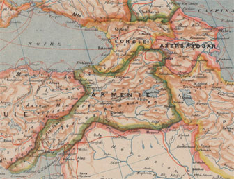
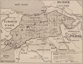
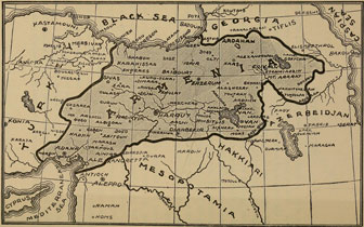
- Armenia as Proposed by the Armenian National Delegation at the Conference of Paris, 1919
- Armenian S.S.R., 1940 (Atlas Mira)
- Armenian Language in the Northwestern Caucasus
- Ethnic Composition of the Nagorno-Karabakh Autonomous Oblast in 1989
- Administrative Map of Nagorno-Karabakh Republic


