Historical Maps of Poland
MAP COLLECTIONS & atlases
- Blank and Outline Maps of Poland (d-maps.com)
- Poland: Historical Maps Collection (Library of Congress)
- Historical Maps of Poland (American Geographical Society Library Digital Map Collection)
- Historical Maps of Poland (David Rumsey Map Collection)
- Historical Maps of Poland (polona.pl - National Library of Poland))
- Old Maps of Poland (oldmapsonline.org)
MAPS
- Variations des frontières de l’État polonais du Xe siècle à 1770 (Maurice Fallex)
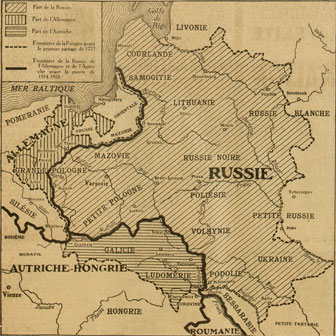
- Les Partages de la Pologne de 1770 à 1914 (Maurice Fallex)
- La Pologne au XVIIe siècle (B. Kozakiewicz)
- Historical Map of Poland, 1831-1918 (Eugeniusz Romer)
- The political subdivision of the Polish territory before the war and its linguistic areas (Woodrow Wilson)
- The Polish question on the maps, 1914 (Joseph de Lipkowski)
- Miltary-Political Map of Poland, 1916 (in Polish, Eugeniusz Romer)
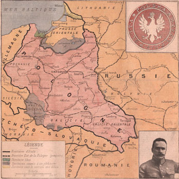
- Pologne, 1916 (A. Taride)
- Map of the Old Polish Lands, 1917 (in Polish; V. Dworzak)
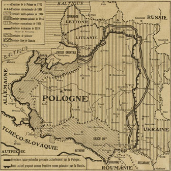
- The Proposed Frontiers of Poland, 1918 (Woodrow Wilson)
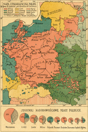
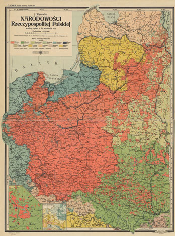
- Map of the nationalities in Poland, 1919 (E. Malizewski)
- Eastern Borders of Poland, 1919 (E. Malizewski)
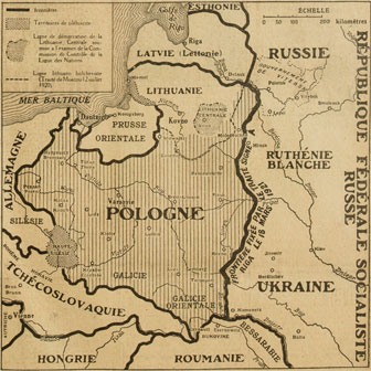
- Pologne, 1919: Carte ethnographique
- Pologne et pays limitrophes, 1919 (E. Szumanski)
- Map of the Polish Republic, 1920 (in Polish)
- Poland, 1920 (in Polish; W, Pokorny)
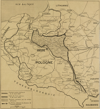
- Poland, 1920 (in Polish)
- Poland, 1920: Administrative Map (in Polish; Eugeniusz Romer)
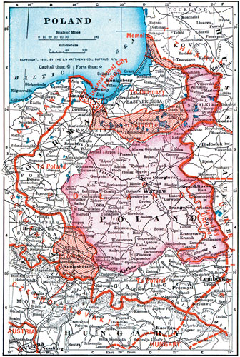
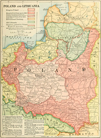
- Poland, 1925 (Cummins)
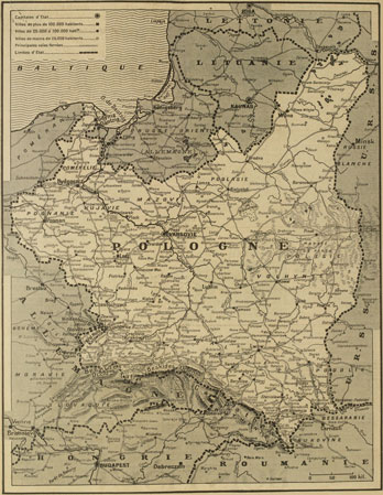
- Pologne, 1949: Carte économique
- Poland, 1953: Administrative Map (in Polish; Eugeniusz Romer)


