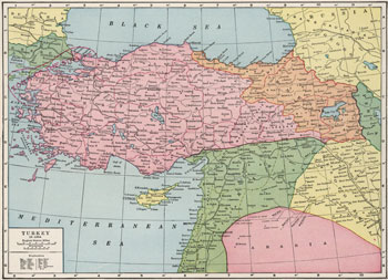
Historical Maps of Türkiye
MAP COLLECTIONS & atlases
- Blank and Outline Maps of Turkey (d-maps.com)
- Géographie-atlas de l’Empire ottoman: texte et cartes, 1907 (Joseph Dupont)
- Historical Maps of Turkey (American Geographical Society Library Digital Map Collection)
- Historical Maps of Turkey (David Rumsey Map Collection)
- Istanbul in Maps (Istanbul Urban Database - Nil Tuzcu)
- Old Maps of Turkey (oldmapsonline.org)
- Turkey: Historical Maps Collection (Library of Congress)
- Turkey in Maps: Historical Map Collection (Ali Turan)
MAPS
- Mediterranean Lands at the Time of the Crusades (Droysens Allgemeiner Historischer Handatlas, 1886)
- Ottoman Empire at Fall of Constantinople 1453
- Ottoman Empire at Fall of Constantinople 1453
- Ottoman Empire (Joaquin de Salas Vara del Rey)
- Turkey: L’Empire ottoman au XVIIe siècle
- Ottoman Empire, 1683
- Turkey: Ottoman Empire, 1798-1923
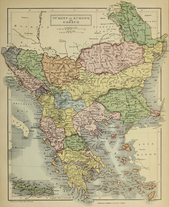
- Turkey in Europe, 1858 (J. Arrowsmith)
- Balkan States & Ottoman Empire, 1877-1878 (Stanford’s Popular Map of the Seat of War)
- The Ottoman Empire at the beginning of the 20th century (houshmadyan.org)
- Sketch Map of Western Turkey in Europe, 1909 (U .S. War Office)
- Sketch Map to Shew Approximately Railways in Asiatic Turkey, 1911 (U .S. War Office)
- Libya: Tripolitania, 1911
- Libya, 1912
- Ottoman Levant (Syria, Aleppo, Beirut, etc.) before 1914: Administrative division
- La Guerre en Orient: La Turquie et ses voisins, 1914 (M. Dubois, J. G. Kergomard)
- Stanford’s Map of part of the Turkish Empire with the Balkan Peninsula and Lower Egypt, 1914
- Railroads in Turkey showing their connections and extensions, 1915
- Part of Asiatic Turkey showing Distribution of Peoples, 1915
- Egypt and the Near East, 1918 (Daily Telegraph)
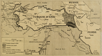
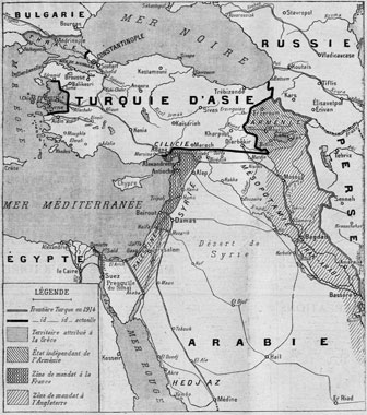
- The Middle East from the Treaty of Sèvres (1920) to the Treaty of Lausanne (1923)
- Disputed Lands of Near East that Hold World Attention Today
- Asia Minor, Syria and Mesopotamia, 1922 (The Times Atlas, 1922)
- Treaty of Lausanne (1923)
- Treaty of Lausanne (1923)
- The New Turkey, 1926
- Carte de la Turquie indiquant les divisions en Vilayets, 1931
- Rand McNally Popular Map of Turkey, Syria and Iraq, 1940
- Turkey, Syria and Iraq, 1945


